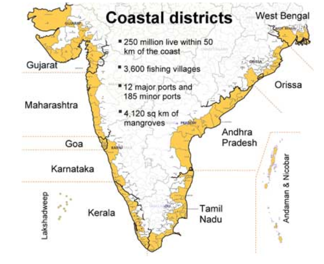
Coastal Vulnerability Index:
-
It is a coastal vulnerability assessment for the entire Indian coast at States level.
-
Coastal vulnerability is a spatial concept that identifies people and places that are susceptible to disturbances resulting from coastal hazards.
-
The maps will determine the coastal risks due to future sea-level rise based on the physical and geological parameters for the Indian coast.
-
The CVI uses the relative risk that physical changes will occur as sea-level rises are quantified based on parameters like:
-
Tidal range
-
Wave height
-
Coastal slope
-
Coastal elevation
-
Shoreline change rate
-
Geomorphology
-
Historical rate of relative sea-level change.
-
-
Coastal vulnerability assessments can be useful information for coastal disaster management and building resilient coastal communities.
